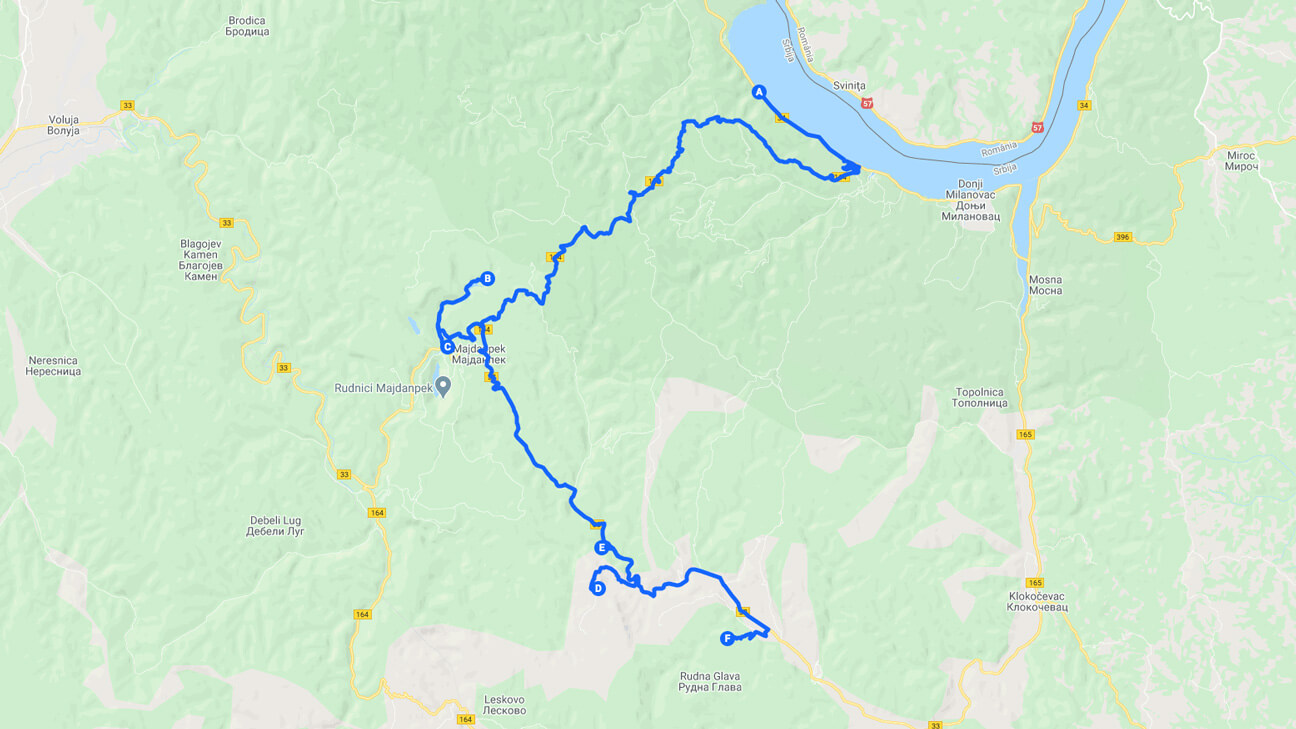
Kovilovo – Rudna Glava
Georoutes
Georoutes
Municipality of Majdanpek
Georoute Kovilovo viewpoint – Rudna Glava village
Approximate length
53 км
It can be crossed by
car on foot (alternatively by bicycle)
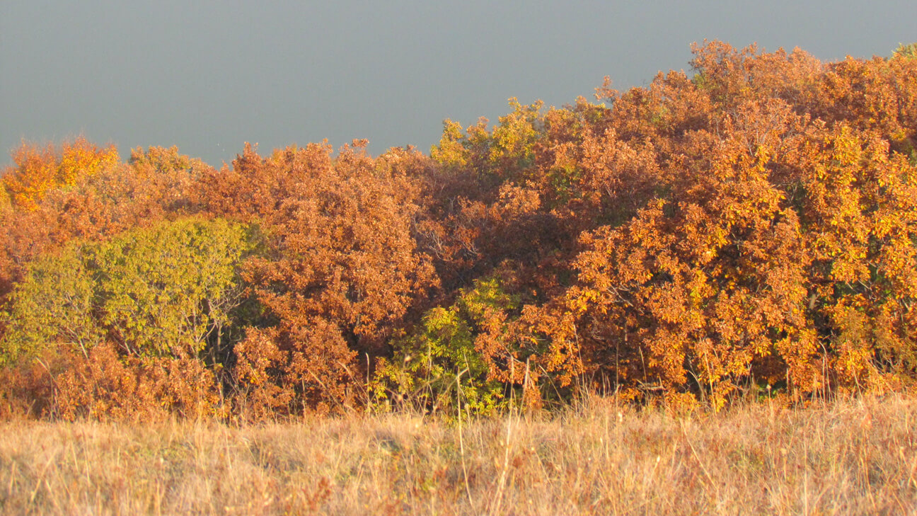
The Kovilovo viewpoint – Rudna Glava village georoute starts on the local road Donji Milanovac – Majdanpek across Oman Mountain, at the beginning of the 1.2 km long Kovilovo hiking trail that leads to the viewpoint above the Donjomilanovačka valley at 355 m above sea level.
A 23 km long asphalt road leads to Rajko’s Cave, which stands out with the beauty and richness of cave formations made of crystal clear calcite. After visiting Rajko’s Cave, we suggest a tour of the Church of the Saint Apostles Peter and Paul in the center of Majdanpek, built in the middle of the 19th century in the so-called Swiss style, prevalent in Europe at the time.
A 1.2 km long hiking trail leads to the complex of cascades and waterfalls on the Beli Izvorac Tufa Accumulation, which starts on the road Majdanpek – Negotin, 14 km from Majdanpek. Returning to the road Majdanpek – Negotin at a distance of 3 km begins 1.3 km long hiking trail that leads to the Šuplja stena, the highest stone arch in Serbia which is 44.8 m high, and the width of its opening at the bottom is 9.7 m.
The georoute ends in the nearby village Rudna Glava (6 km) and the women’s association “Vredne Vlajne” which is engaged in the preservation of the heritage of the Vlach ethnic group.
Photo gallery
Info
Tickets are charged at the Kovilovo hiking trail (PE “Djerdap National Park”) and in Rajkova cave (Tourist Organization of the Municipality of Majdanpek)
Locations
- Kovilovo viewpoint
- Rajko’s Cave
- Church of the Saint Apostles Peter and Paul
- Beli Izvorac Tufa Accumulation (trout pond)
- Šuplja Stena Natural Arch
- Rudna Glava village
Georoute map
Take a look at the following georoute
Georoute Vratna Monastery - Prerast Tunnel Cave in Zamna Gorge

Контакт
„Национални парк Ђердап“ д.о.о.
ул. Краља Петра I број 14а
19220 Доњи Милановац, Србија
Е-пошта: office@npdjerdap.rs
Централа: 030 215 0070